

Adaptation news
News
Southeast Asia
Inclusive Biodiversity Conservation and Livelihood Improvement Underway in Lao PDR under the Mekong PAD III Program
In August 2025, field missions were conducted across villages around the Namkong–Xexou Protection Forest (Attapeu Province) and the Hin Nam No National Park (Khammouane Province) in Lao PDR, as part of the Mekong PAD III Program funded by the Australian Government under the Mekong-Australia Partnership Phase 2 (MAP 2). The mission aimed to assess the Gender Equality, Disability and Social Inclusion (GEDSI) dynamics and gather essenti...
Climate change news
News
Vietnam news
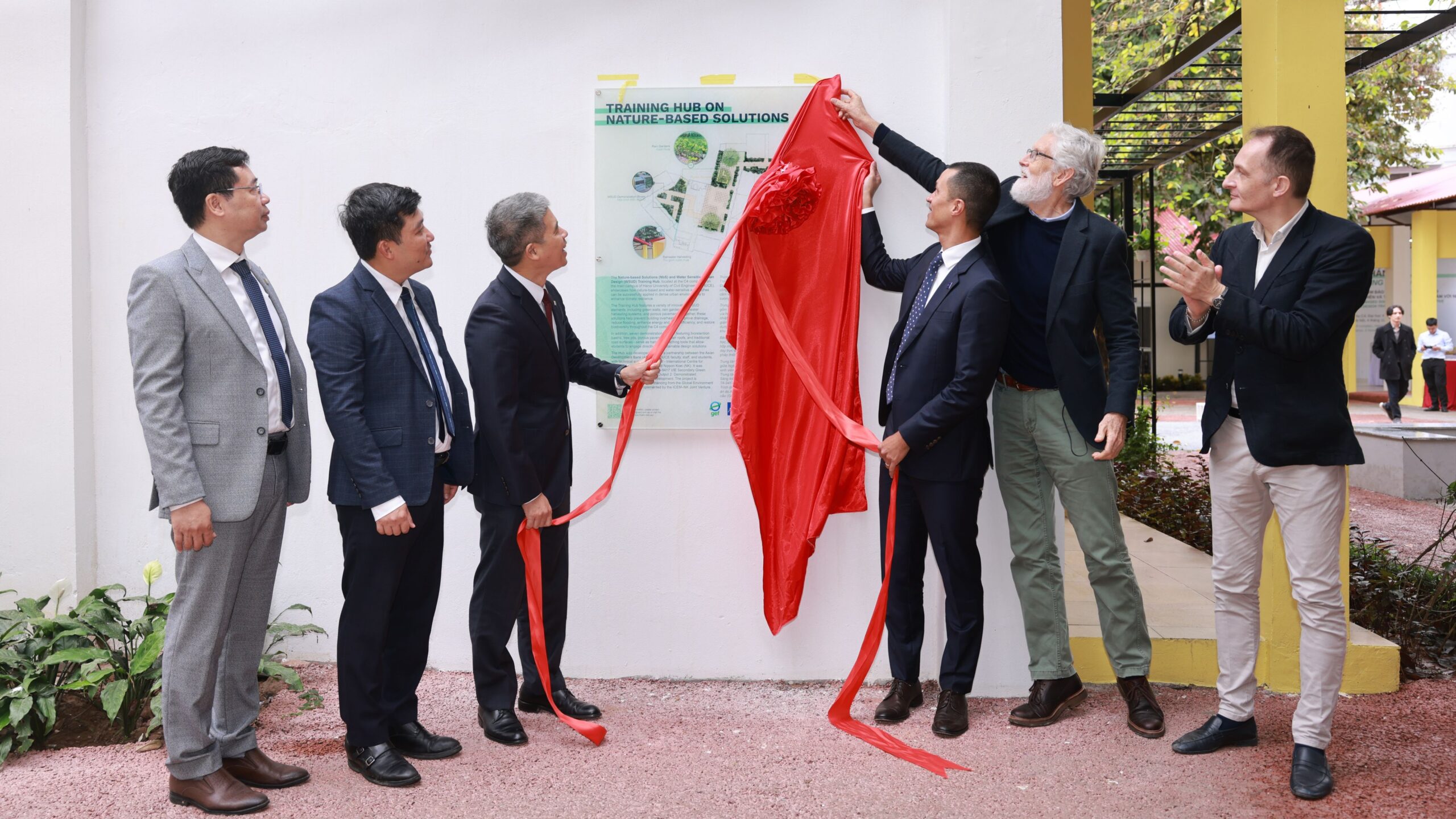
HUCE and ADB Launch Training Hub on Nature-based Solutions and Water Sensitive Urban Design
A new chapter in Viet Nam’s urban development story began this week with the opening of the Training Hub on Nature-based Solutions (NbS) and Water Sensitive Urban Design (WSUD) at the Hanoi University of Civil Engineering (HUCE). The launch marks a major step in the country’s journey toward building climate-resilient and liveable cities.
Developed with funding from the Global Environment Facility (GEF), administered by the Asian...

Blog
News
Philippines News
Videos
Restoring Nature for Livelihoods and Climate Resilience in the Philippines
Healthy ecosystems provide buffers against extreme weather conditions and disasters. They also bring multiple benefits to communities residing within them, such as food, water, clean air, income, and recreation. Strengthening the ecological infrastructure of a landscape by restoring forest cover and reintroducing biodiverse vegetation and cropping plays a vital role in building resilience to climate change, increasing biodiversity, and ...
loading