Supporting Vietnam’s Disaster Risk Reduction through Integrated Landslide Risk Management

Project Context

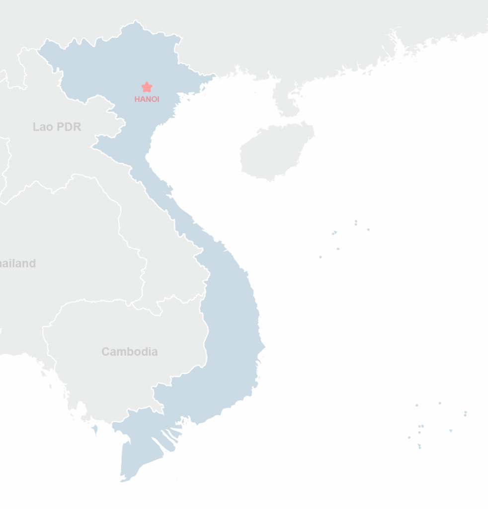
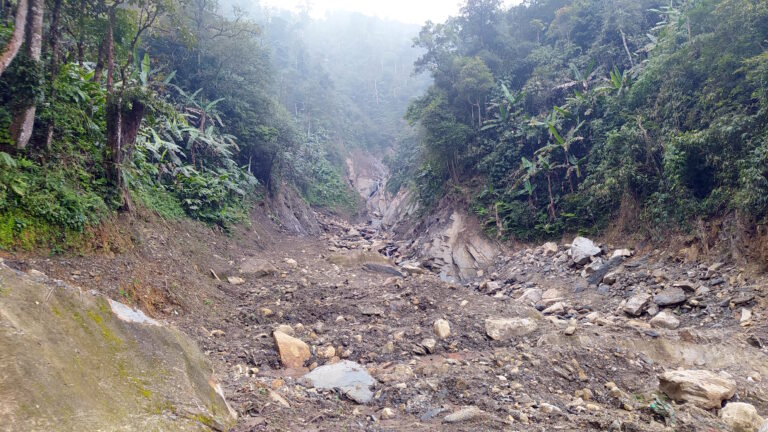
Vietnam is highly vulnerable to landslides, particularly in its mountainous northern regions, where geological instability, intense rainfall, and increasing climate variability converge to create significant risks for communities and livelihoods. Despite existing efforts in disaster risk management, the country currently lacks a consolidated, integrated system to effectively monitor, assess, and respond to landslide hazards.

A Landslide Risk Information System (LRIS) is needed to consolidate geological, hydrological, and meteorological data; integrate advanced methods such as radar remote sensing, geospatial analysis, and real-time monitoring; and support proactive disaster risk reduction, response planning, and climate adaptation strategies. Such a system would also enable community-oriented early warning approaches, strengthening local resilience to one of Vietnam’s most recurring natural hazards.

GIZ commissioned ICEM, in partnership with the University of Twente’s Faculty of Geo-Information Science and Earth Observation, to conduct a comprehensive scoping study to assess the feasibility of establishing an LRIS in Vietnam, map existing data and tools, and propose a framework for its development.

Objectives

The scoping study aimed to:

  • Assess the feasibility of establishing a national Landslide Risk Information System (LRIS) in Vietnam by evaluating existing data, tools, systems, and methodologies for landslide risk management.
  • Propose a comprehensive LRIS framework, including technical specifications, institutional arrangements, and capacity-building requirements needed for its development and long-term operation.
  • Develop a phased implementation roadmap with cost estimates and financing strategies, ensuring the system is scalable, sustainable, and aligned with Vietnam’s broader disaster risk reduction goals.
client:
GIZ
LOCATION:
Vietnam
TIME:
August 2025
to March 2026

TAGS

Climate Change, Disaster Risk Reduction, Project description
Vietnam
Current Projects

Activities

ICEM has led the technical implementation of the scoping study across the following areas:
  • Assessment of Methods and Existing Data Systems: Reviewing landslide risk information sources, geo-information systems, remote sensing technologies, advanced modelling and AI approaches, and community-based early warning systems to identify gaps and opportunities for integration into the LRIS.
  • Assessment of the Governance Structure and Stakeholder Analysis: Reviewing the current legal and policy frameworks, institutional set-up and roles and responsibilities of the governing bodies tasked with landslide data collection, processing, analysis and data sharing for the purpose of landslide database maintenance and early warning systems.
  • IT Framework and Institutional Assessment: Evaluating the current IT infrastructure supporting landslide risk management, identifying requirements for a scalable and interoperable LRIS, and reviewing the institutional and policy frameworks needed to govern its development and maintenance.
  • Capacity Development Assessment: Identifying technical and institutional capacity gaps across government agencies and local communities in areas such as GIS, remote sensing, data management, and early warning, and developing a long-term capacity-building plan.
  • LRIS Framework and Roadmap: Defining the core components of the LRIS, including data integration, analysis tools, early warning mechanisms, and user interfaces, and developing a phased implementation roadmap with technology rollout plans, budget estimates, and a monitoring and evaluation framework.

RECENT PROJECTS