Project Description
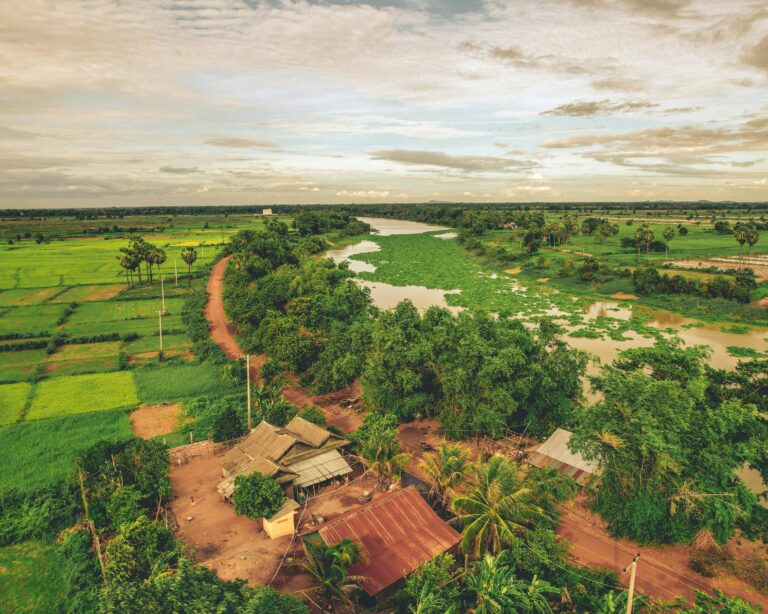
Vietnam, with over 3,260 km of coastline, is highly vulnerable to coastal hazards and climate change. Coastal communities face increasing risks from tropical cyclones, flooding, erosion, and sea-level rise, threatening lives and livelihoods. To address these challenges, the Development of Coastal Multi-Hazard Mapping, Vulnerability and Risk Assessments and Investment Framework for Coastal Interventions project was launched, funded by the World Bank. It aimed to support the Government of Vietnam, through the Vietnam Disaster Management Authority, by improving understanding of coastal risks and strengthening resilience planning in selected northern and central coastal communities.
Objectives, Activities, and Results
The project conducted participatory, risk-based assessments to evaluate the vulnerability of key community infrastructure. It combined local knowledge of past disasters with GIS analysis and numerical modeling to develop multi-hazard maps and risk profiles. Field data collection focused on socio-economic and ecological factors, and the team produced damage curves and conducted economic analysis of risks. The project delivered community-specific lists of prioritized risk reduction investments, ranked by cost-effectiveness, feasibility, and social and environmental benefits. A replicable prioritization methodology was developed to guide similar efforts across Vietnam and the region, laying the groundwork for targeted coastal resilience interventions.