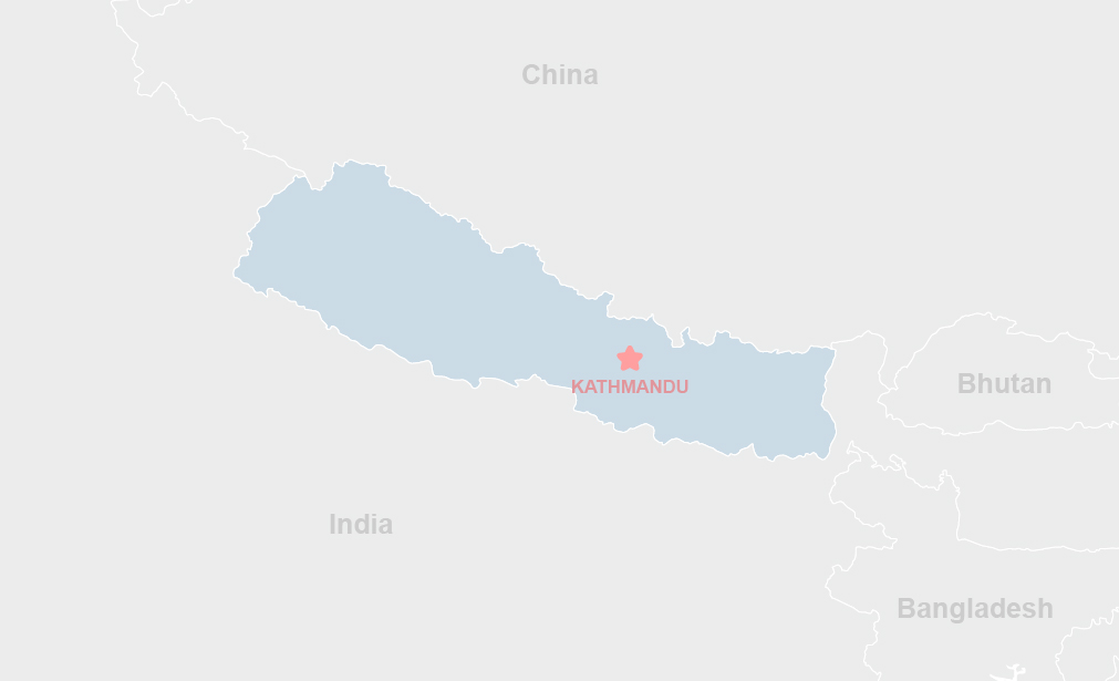
Project Description
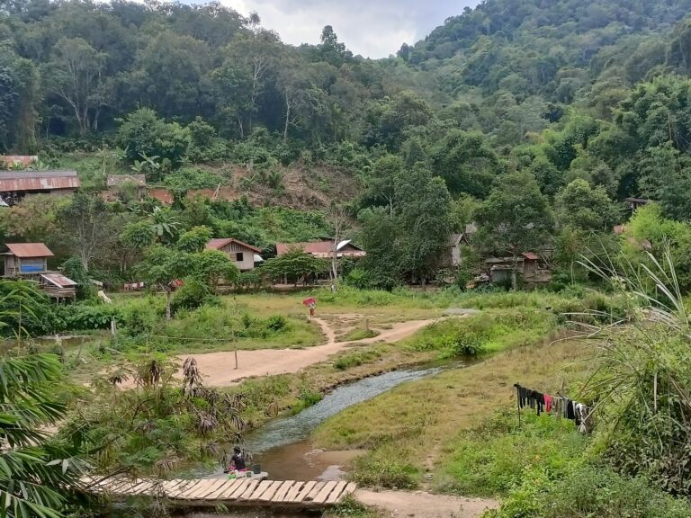
In Nepal, road construction in mountainous and river basin areas has become a leading cause of landslides, erosion, and sedimentation. These risks are compounded by the country’s fragile Himalayan geology, steep terrain, and intense monsoon rainfall. To strengthen landslide risk management, the Geohazard Risk Management and Resilient Road Asset Management in Nepal project was launched. The project supported national and cross-border efforts to integrate disaster and climate resilience into road infrastructure development, including advisory support to ongoing initiatives like the Nepal Road Sector Development Project and the Nepal-India Trade and Transport Project.
Objectives, Activities, and Results
The project aimed to assess and advise on future climate and seismic risks to road infrastructure. It reviewed existing landslide data, identified high-risk zones, and applied vulnerability assessments based on climate projections, seismic risk, land use, and poverty levels. A key innovation was the landscape-scale approach and the development of a user-friendly Decision Support System (DSS) for road planners. The project delivered risk mitigation plans, cost-benefit analyses, and resilience guidance tailored to the Department of Roads. By convening stakeholders and promoting upstream planning, it laid the foundation for scaling up climate-resilient transport planning across Nepal.