Project Description
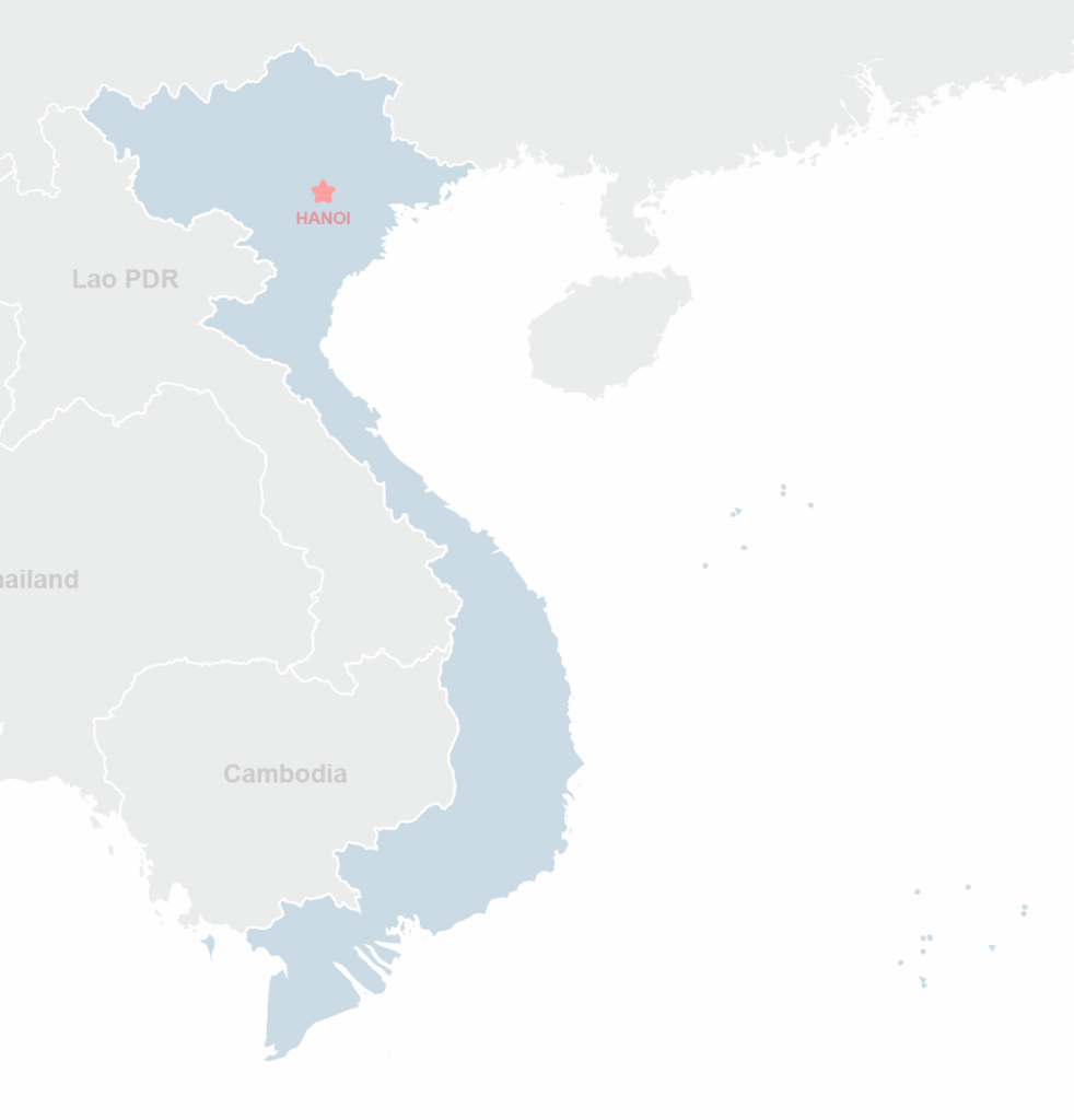
ICEM conducted a rapid impact and vulnerability assessment to support Vietnam’s climate change adaptation planning, specifically targeting the impacts of sea level rise (SLR). The assessment aimed to bridge the gap between coarse global SLR models and limited national-level analyses by delivering a more accurate, geospatial understanding of the potential effects of SLR on Vietnam’s socio-economic systems and natural environment. The project focused on modelling inundation zones using digital surface data and overlaying them with national GIS datasets to identify vulnerable populations and systems.
Objectives, Activities and Results
The main objective was to provide evidence-based, location-specific insights to inform the Government of Vietnam’s National Target Program to Respond to Climate Change (NTP). Activities included digital modelling of SLR scenarios, spatial vulnerability analysis, and a review of national adaptation priorities. The results highlighted critical regions and sectors at risk, offering a foundation for future, more detailed assessments. It also identified key data and methodological gaps, proposing recommendations for improving the accuracy and usefulness of national SLR impact studies. Ultimately, the assessment helped guide the development of sectoral and regional climate adaptation strategies and supported the mainstreaming of climate change considerations into broader development planning.


