Project Description
Scoping Study for Catchment and Coastal Climate Resilience Measures for Thua Thien Hue Province
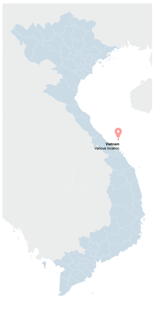
Donor: Asian Development Bank (ADB) | Duration: September 2024 – September 2025 | Location: Thua Thien Hue
Project Background:
Vietnam’s secondary cities face a growing threat from climate hazards such as flooding, storm surges, and coastal erosion, all of which are expected to intensify with climate change. However, these cities are already burdened by rapid urbanization, outdated infrastructure, and limited financial resources, leaving little capacity to address climate risks effectively. The lack of integrated spatial planning and innovative resilience strategies has further heightened their vulnerability.
Hue City, in particular, is highly exposed due to its location in a coastal floodplain, where water from steep upstream catchments flows rapidly toward the coast. Intense storms, heavy rainfall, rising sea levels, and strong ocean currents exacerbate flash floods, soil erosion, and landslides, posing significant threats to lives, livelihoods, and economic stability. The coastal districts of Quang Dien, Phu Vang, and Phu Loc, where much of the province’s population is concentrated, are especially at risk. With the local economy heavily dependent on fisheries, aquaculture, agriculture, forestry, hydropower, and tourism, the impact of climate-related disasters can be severe and far-reaching.
To address these challenges, the Scoping Study for Catchment and Coastal Climate Resilience Measures is supporting the Government of Vietnam and Hue PPC in developing an investment project for potential financing by ADB, other official development assistance (ODA) sources, and government counterpart funds. This project aims to implement infrastructure interventions that reduce climate-related vulnerabilities across the province.
The study adopts a comprehensive “catchments to the coast” approach to strengthen long-term resilience. Using advanced catchment and coastal modeling, the study will:
- Assess climate hazards under different future scenarios,
- Identify risk hotspots, and
- Test priority infrastructure solutions to mitigate these risks.
Flood modeling will provide insights into flood frequencies and inundation levels, while coastal models will evaluate the impacts of storm surges and coastal erosion. These findings will directly inform the design of resilient infrastructure that safeguards communities and ecosystems.
By building a strong evidence base for decision-making, this study will help shape climate-smart investments that protect Thua Thien Hue Province from increasing climate risks and natural disasters, ensuring a safer and more sustainable future.