Project Description
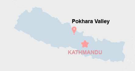
Nepal, among the world’s least urbanized yet fastest urbanizing countries, experienced rapid and uneven urban growth, particularly in the Kathmandu and Pokhara valleys. Secondary cities, though vital for regional development, lacked the planning systems and geospatial tools necessary to manage climate and disaster risks. Rapid urbanization and increased vehicle ownership strained road infrastructure, while poor design, insufficient safety features, and exposure to natural hazards exacerbated these issues. In response, the World Bank commissioned ICEM and GEOCE to implement a project to strengthen road and drainage resilience in Nepal’s secondary cities, focusing on Pokhara and Urlabari under the Nepal Urban Governance and Infrastructure Project (NUGIP).
Objectives, Activities, and Results
The project aimed to improve planning and design standards for urban infrastructure and support sustainable, risk-informed development. ICEM developed a web-based Road Asset Management System (RAMS) for Pokhara, integrating hazard and risk data to support asset tracking and decision-making. A Climate Vulnerability Assessment (CVA) for Pokhara and Urlabari informed the integration of climate risks into urban planning. The team reviewed and proposed updates to national road and drainage design standards, aligning them with international best practices. Capacity-building efforts included training municipal officials and producing guidelines to enhance institutional systems for long-term, climate-resilient asset management.