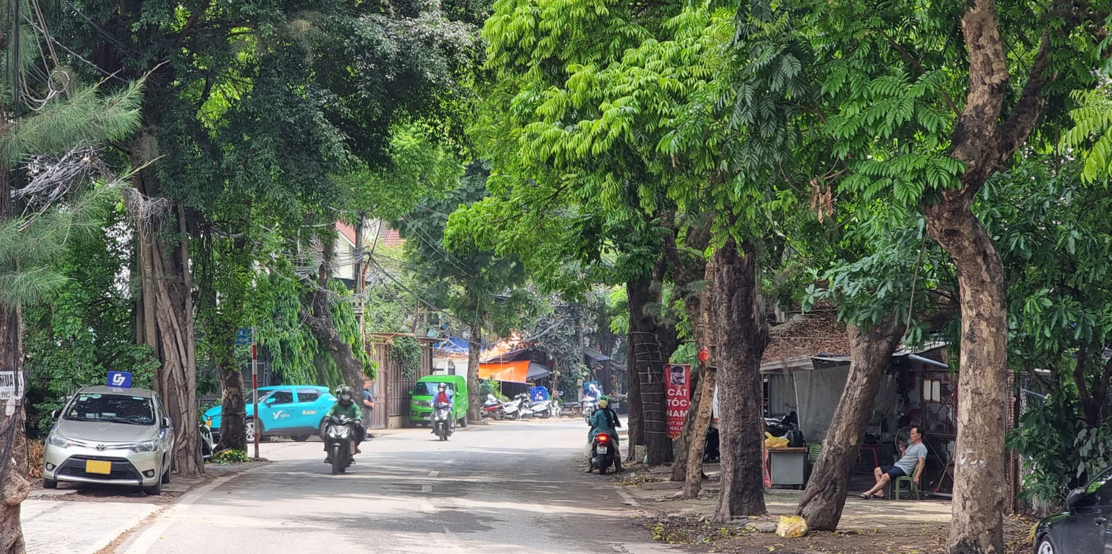
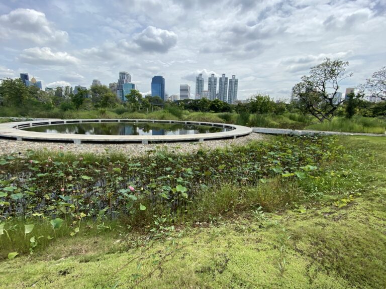
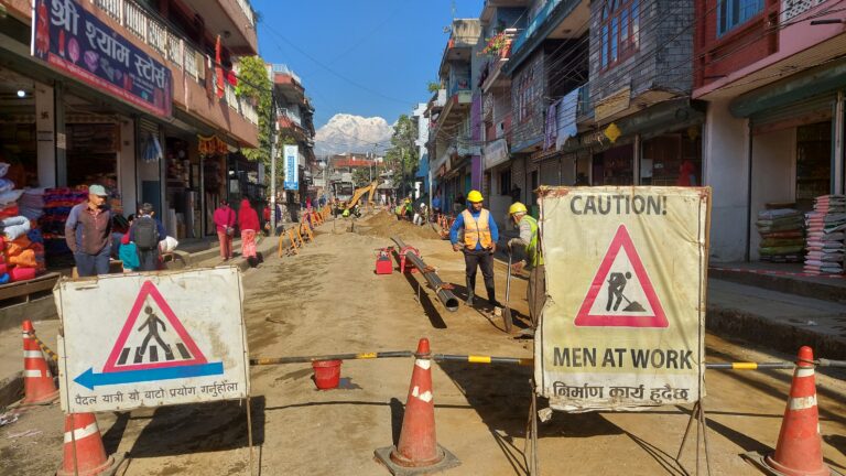
Resilient cities and towns are designed to withstand shocks, recover quickly from disasters, and adapt to changing conditions. ICEM works with metropolitan governments and communities to strengthen capacity in land use planning, zoning, development controls, and the application of water-wise and nature-based solutions (NbS).
We use advanced modeling, assessments, and field surveys to identify climate and disaster risks as the first step in building urban resilience. Our approach includes participatory mapping with local authorities and communities to pinpoint flood-prone zones and areas vulnerable to drought, heatwaves, or riverbank collapse—hazards often intensified by dense populations and critical infrastructure such as water supply, drainage, sanitation, energy, transport, and telecommunications.
ICEM overlays historical and projected climate data on urban hotspots, assets, and zoning plans to assess vulnerabilities. We then lead participatory adaptation planning to identify, design, and implement resilience measures—drawing on NbS and hybrid solutions tailored to each urban context.