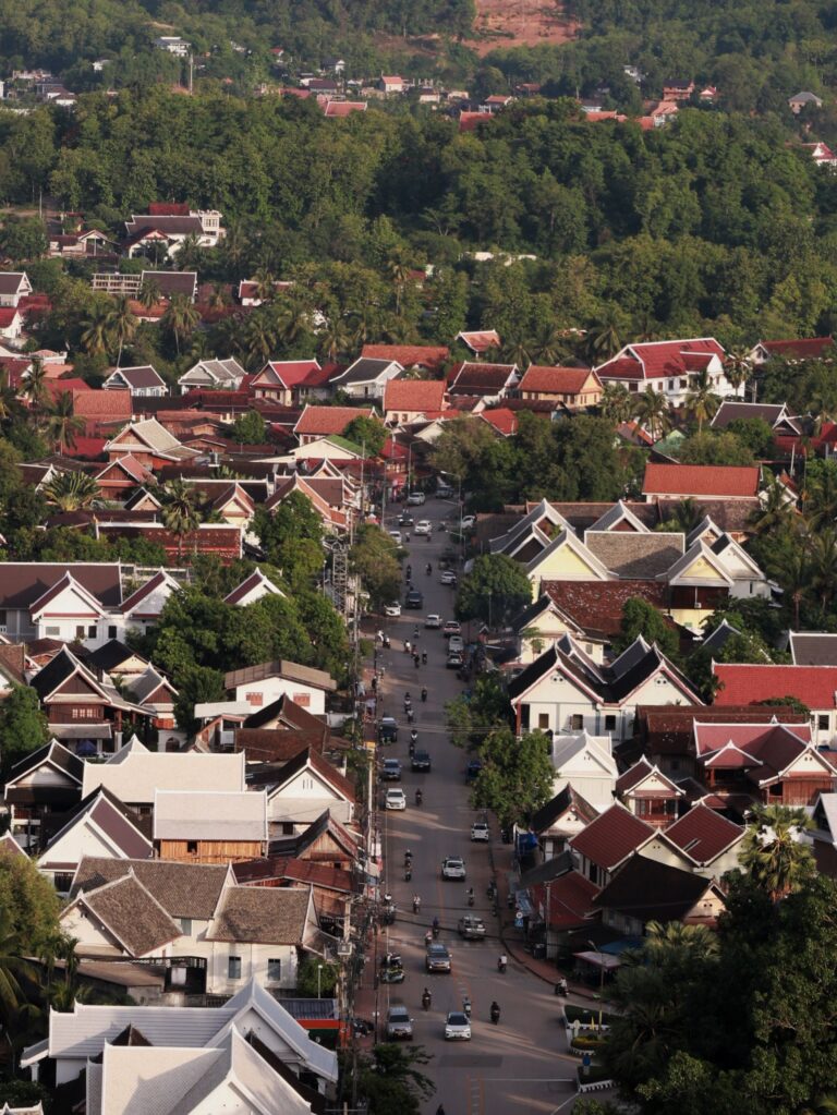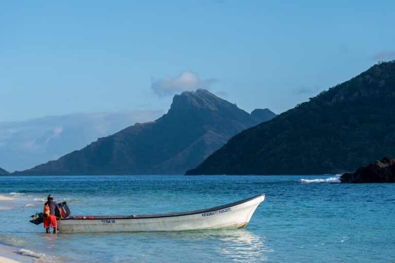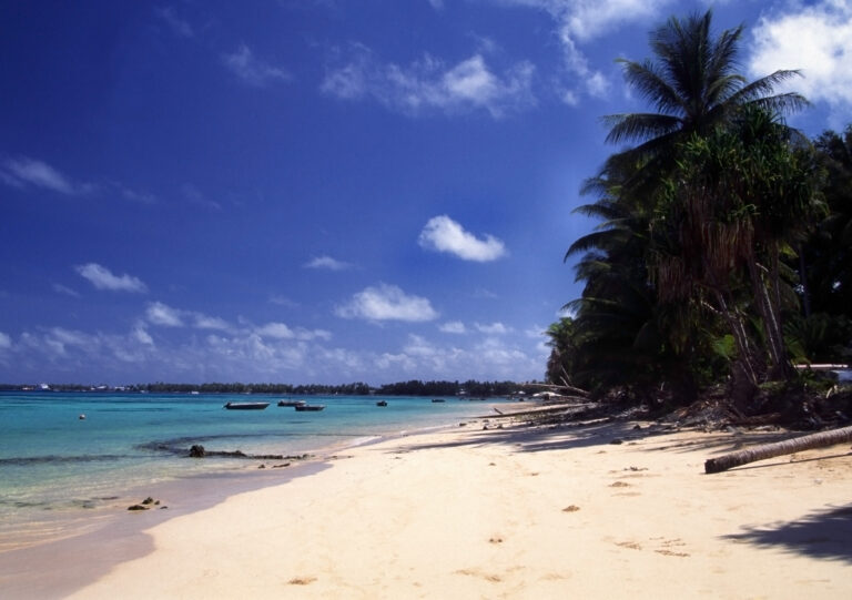
Beneath the forest canopy of Kaeng Krachan National Park, Thailand’s largest national park and a UNESCO World Heritage Site, wild elephants and endangered hornbills share a shrinking landscape with communities like Pa Deng Tai village whose livelihoods depend on the same forest ecosystems that climate change is threatening. In May 2026, a field mission to scope opportunities to set up a foundation to strengthen protected area management, community livelihoods, and biodiversity conservation in the face of accelerating climate change was conducted under the Mekong PAD III Program, funded by the Australian Government’s Department of Foreign Affairs and Trade (DFAT) through the Mekong-Australia Partnership (MAP). The mission brought together experts from ICEM, IUCN, and the Bird Conservation Society of Thailand (BCST).
A Landscape at the Heart of the Mekong PAD III Program
Kaeng Krachan National Park serves as one of the country’s most vital biodiversity strongholds, bridging the Sundaic, Indochinese, and Sino-Himalayan biogeographic zones. Its forests are among the most biodiverse in mainland Southeast Asia, supporting rare and threatened species like Malayan tapir (Tapirus indicus), black panther, Ratchet-tailed treepie (Temnurus temnurus ) alongside communities whose cultural identity is deeply interwoven with the nature. It has been the home to several ethnic minorities for generations including the Karen community of Pa Deng Tai village. Yet, like many communities living at the forefront of biodiversity and climate change, Pa Deng Tai faces mounting pressures: shifting rainfall patterns, changing forest cover, and the need to find sustainable pathways that protect both people and nature. A key challenge lies in finding approaches that simultaneously strengthen conservation outcomes while improving the well-being of the people who live there.
Working Together on the Ground
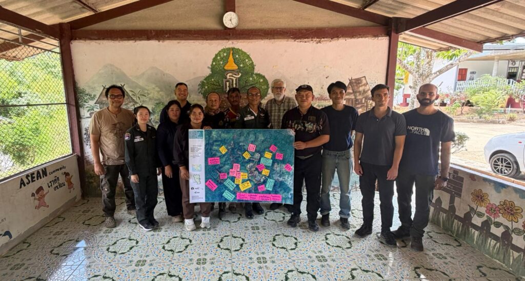
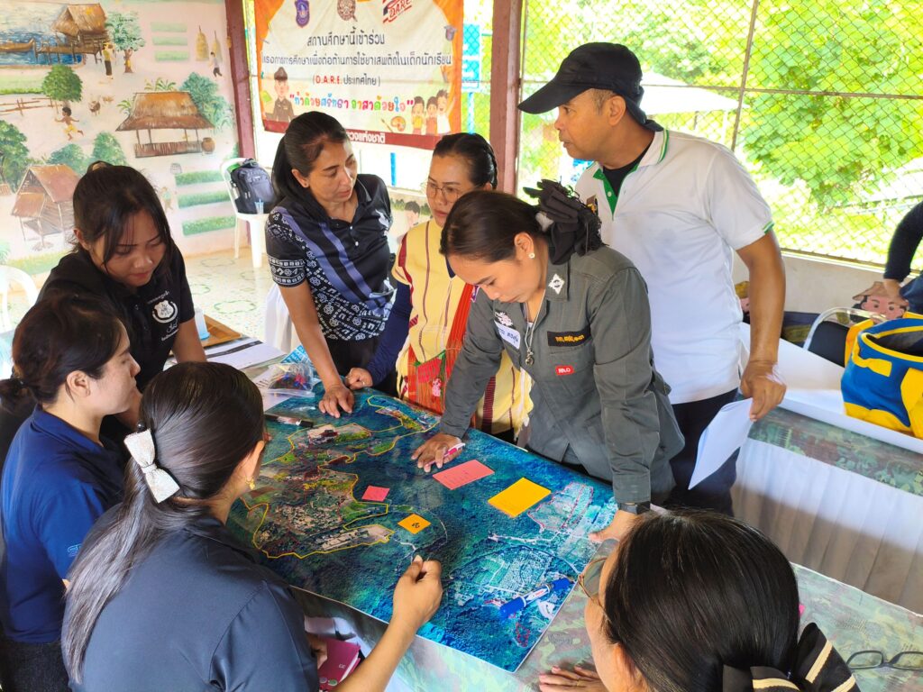
The team worked closely with KKNP park rangers, Karen community members, and teachers and students from the local school through participatory mapping and surveys —a process designed to capture the community’s knowledge and understanding of the landscape.
Together, participants identified biophysical, socio-economic, and institutional features: camping sites and hiking trails with ecotourism potential, community vegetable gardens, vital water sources, biodiversity hotspots, and the emerging signs of climate-induced stress on the landscape (such as flood zones and wildfire prone areas).
The mission was made possible through the engagement of local leaders and grassroot partners. The field team had the privilege of working alongside Village Deputy Chief Lek and School Head Suphaphurut, both of whom brought deep commitment to their community’s future. Central to the ecotourism work was Aree (Aom) Kanthong, Head of the village’s Ecotourism Social Enterprise, whose energy and vision for community-based tourism in Kaeng Krachan is already inspiring others. The mission was also supported by Ranger Unit Chief Suntath Taey and DNP Community Engagement Officer Phongsack (Pae), whose knowledge of the park and its communities proved invaluable throughout.
Aom and the village ecotourism team can be followed on her Facebook page here.
Digital Tools, Community Knowledge
A key element of the mission was the introduction of KoboCollect, a mobile field survey app that enables communities to collect, store, and manage field-data digitally. Community members and partners were trained to use the app to map important assets, record trail routes, and document observations, building a digital dataset that will support future development and long-term monitoring of the landscape.
The integration of digital tools with participatory methods reflects the program’s broader approach: combining technical expertise with local ownership. When communities are equipped to collect and manage their own data, monitoring becomes a community-led process that builds capacity and accountability over time reducing dependency on external projects.
From the River to the Ridge
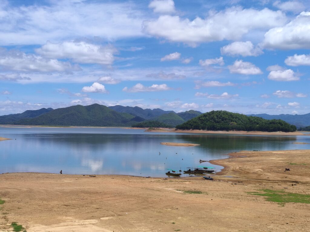
The mission unfolded across a series of immersive field activities. Focus group discussions with rangers and the tourism enterprise team were held at a riverside campsite, a setting that brought to life both the park’s extraordinary natural assets and conversations about how to share those assets sustainably. The group explored opportunities for landscape restoration, ecotourism development, and the community-based livelihoods that could support the conservation of biodiversity.
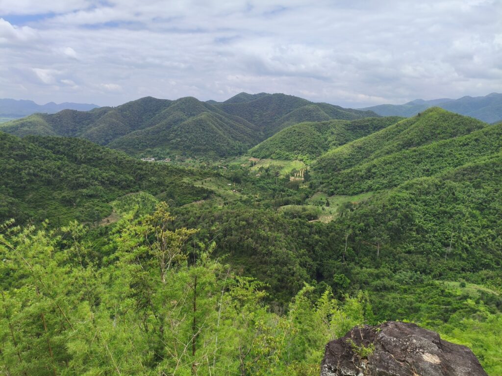
The team also hiked to a panoramic viewpoint overlooking the Kaeng Krachan landscape, a breathtaking vantage point identified as a key ecotourism asset. With planned development of stairs, trails, and viewing platforms, this site holds real potential to attract visitors, generate income for the community, and deepen appreciation of the landscape’s ecological significance.
An Early Step on a Longer Journey
This mission marks an early but significant step in what will be a sustained process of partnership. The participatory mapping and surveys will feed into the design of ecotourism and livelihood initiatives tailored to Pa Deng Tai’s context and aspirations. The data collected through KoboCollect will form the foundation for monitoring systems that track change over time — in the forest, in the community, and in the landscape’s resilience.
Across the Mekong PAD III Program, the vision is consistent: conservation and community well-being are not competing goals but mutually reinforcing ones. Where communities have the tools, the support, and the agency to be stewards of their landscapes, biodiversity thrives. And where nature is healthy, communities are more resilient to the climatic, economic, and social shocks that the future holds.
The Karen community of Pa Deng Tai has lived in relationship with this landscape for generations. With strategic alignment of the landscape stakeholders, that relationship can be strengthened for generations to come.
Together, we are bringing nature back.