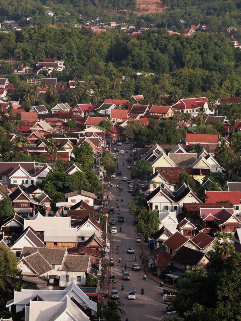
Starting this year, Indonesia is applying a new spatial planning standard to more than 500 local city plans throughout the country to enhance climate resilience in these locations. The tools for building climate resilience exist; but how they are applied and create the intended change depends on the local officials in charge of planning.
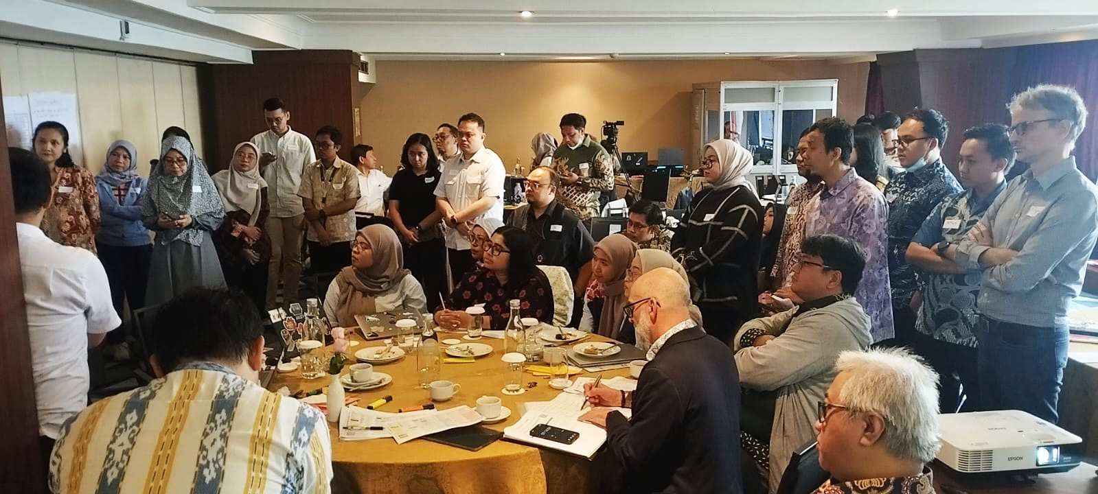
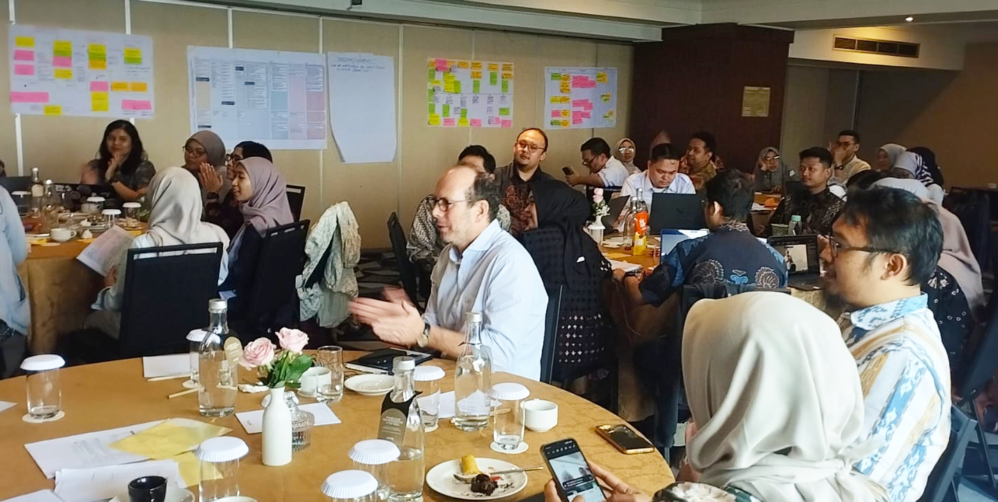
Over three days in Jakarta in August, the Association between ICEM and Hansen Partnership delivered training to 40 of those officials with these tools, under a follow-on phase of the original technical assistance project.
Putting nature at the heart of urban planning
The Rencana Detail Tata Ruang, or RDTR, is the plan that decides what gets built where at local level, for example, which land is zoned for housing, where infrastructure runs, and which areas remain public space. Those decisions hold for decades.
The Association developed the Enhanced RDTR procedure and its tools under World Bank-supported technical assistance to Indonesia’s Ministry of Agrarian Affairs and Spatial Planning/National Land Agency (ATR/BPN). The Ministry has adopted the procedure as the national standard and will apply these tools across more than 500 RDTRs.
Scaling that implementation is obviously a positive step, but also presents a new challenge: One well-made plan is a matter of good practice. Five hundred is a matter of quality assurance, and quality assurance rests with the officials who review what consultants produce.
From climate data to greener, more resilient cities
The August training was built around this concern. Alongside a refresher on the six tools, participants worked on supervision: how the control sheets ATR/BPN already uses to review city plans can be extended to include climate requirements, so reviewers know what to look for, what is missing, and when a plan is good enough to approve.
The decision to adapt existing systems rather than build new ones was deliberate. Climate checks written into the review an official already carries out are more likely to be applied than checks that arrive as a separate exercise, and a second review system is one more thing to maintain across 500 plans.
Much of the discussion turned on the step that most often goes missing: Hazard, exposure and vulnerability data are only useful once they change what appears on a map. The supervision system is built to test for that change. A reviewer looks for what the analysis altered on the map: a zoning line moved, a retention area added, a corridor opened. A paragraph saying climate risk was considered does not pass.
Getting to that point is why one of the six tools, ICEM’s Participatory Climate Impact and Vulnerability Mapping, brings residents into the evidence base. Technical data shows where hazards are projected to fall; residents confirm where water actually collects and which streets become impassable. Used together, the two give a reviewer a firmer basis for a decision than either gives alone.
What happens next
The workshop closed on a practical note, refining the monitoring indicators and folding climate-enhanced requirements into ATR/BPN’s existing supervision arrangements rather than creating parallel ones. The follow-on phase continues with online sessions for the supervisors, to check on their progress as the rollout proceeds and to answer the questions that only surface once the work is under way.
The central lesson was about sequence. For climate resilience to have impact, its precepts need to be present from the first stage of a spatial plan and carried through data collection, risk analysis, concept development and the final document. Introduced late, it becomes a layer of language over decisions already made. Carried through, it changes the decisions themselves.
Indonesia has the standard and the tools. Applying them consistently across 500 plans will depend on clear expectations, effective supervision and timely correction when work falls short. Forty officials now have what they need to apply all three.