To support planning and early warning across the full range of ICEM competencies, including climate change, energy, water, biodiversity, integrated assessments and disaster risk reduction, ICEM specialists develop innovative Decision Support Systems (DSS).
The platforms focus on consolidating and visualizing diverse datasets, of which geospatial data are vital inputs to provide structured data and information to address particular concerns of sustainable development.
Each DSS is customized to address the specific challenges of the project and carefully tailored to the client’s specifications. From the outset, ICEM works with the client to identify the types of questions that the DSS needs to address and create detailed use case examples.
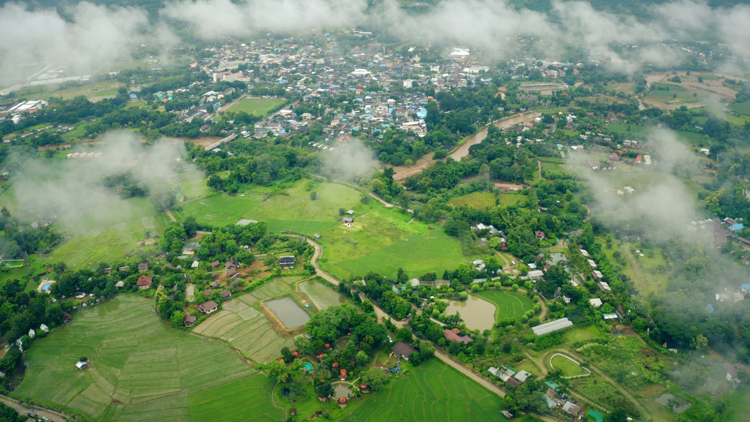
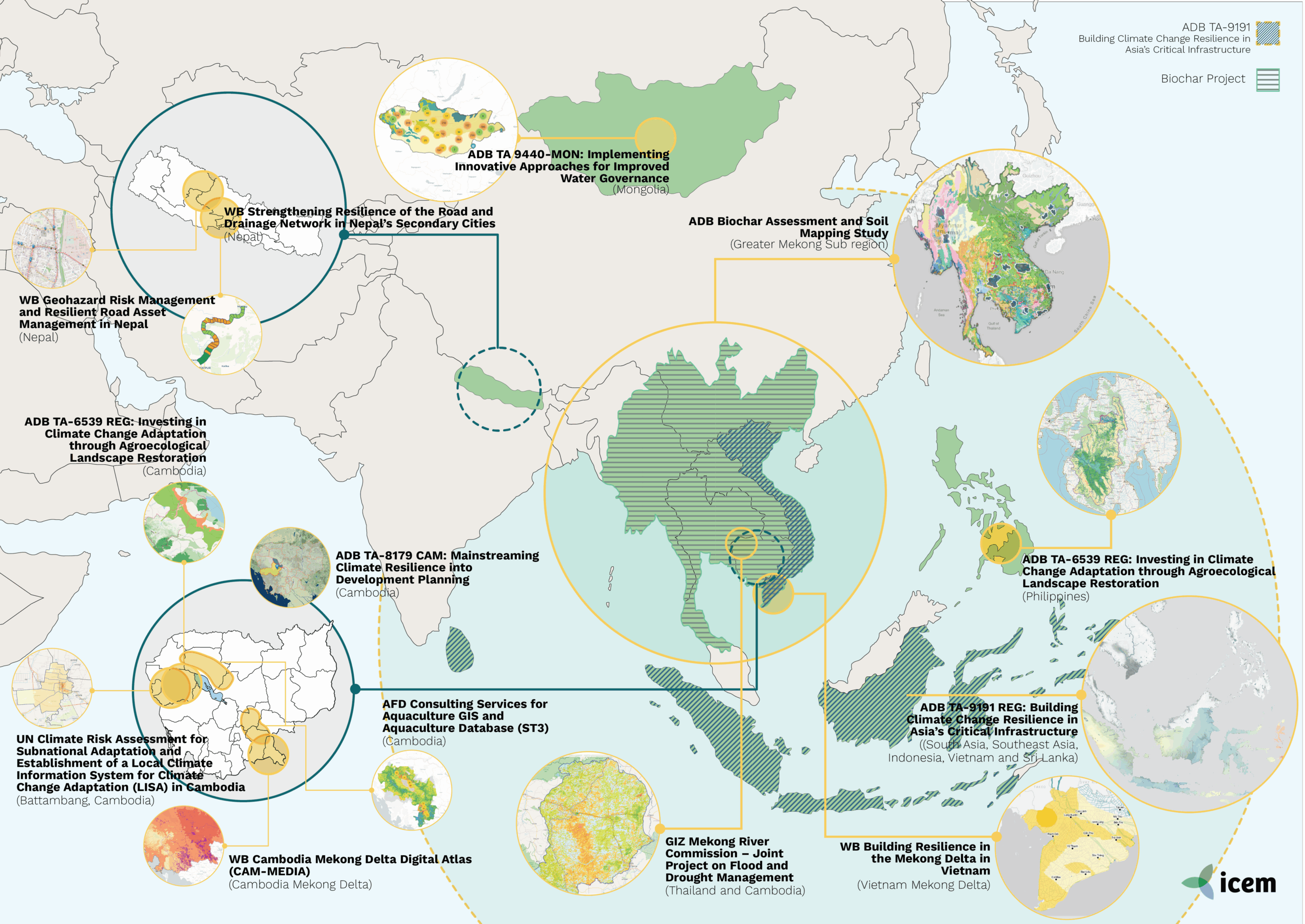
Project Description The Sekong, Sesan, and Srepok (3S) rivers formed a vital transboundary sub-basin of the Mekong, shared by Cambodia, Lao PDR, and Viet Nam. This region was crucial for biodiversity, sediment transport, fisheries, irrigation, and flood and drought resilience. Contributing over 20% of the Mekong’s annual flow and nearly 15% of its sediment load, […]
Climate change, Disaster risk reduction, Environmental Economics, Featured Climate Change Projects, Featured DSS Projects, Featured Economics Tools Projects, Featured Modelling and Data Management Projects, Featured Publications, Featured Water Projects, Water
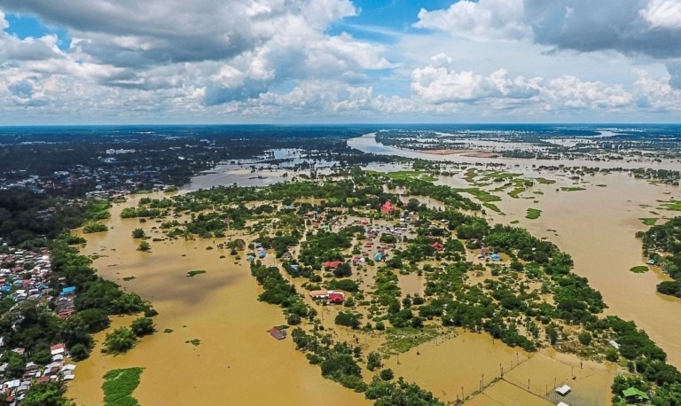
Project Description The 9C-9T sub-basin is a vital tributary of the Mekong River, shared by Thailand and Cambodia, supporting 1.4 million people and critical ecosystems linked to the Tonle Sap Lake. Its freshwater resources sustain agriculture, industry, biodiversity, and livelihoods, but are increasingly threatened by flood, drought, and climate change. The 9C-9T Joint Project, under […]
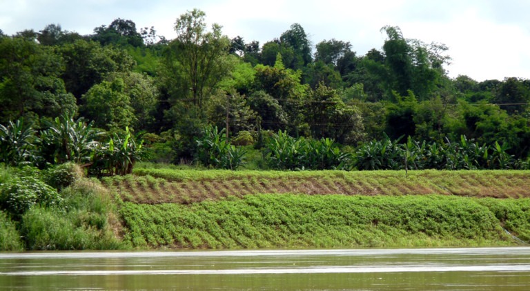
About: Biochar provides an innovative solution for GMS gender-responsive and climate-friendly agriculture. Biochar is the carbon rich product produced when biomass such as such as wood, manure or leaves, is heated with little or no available oxygen. It is added to soils to improve soil functions and to reduce greenhouse gas emissions from biomass. Using biomass to produce biochar can release much less smoke that open burning by conventional practices that would otherwise naturally degrade to greenhouse gases.
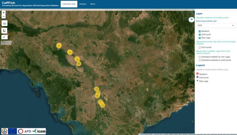
Project Description The ‘ST3 Aquaculture GIS and Aquaculture Database’ project was part of the broader EU- and AFD-funded CaPFish Program, aimed at enhancing food security and socio-economic development in Cambodia through sustainable aquaculture. Led by the Department of Aquaculture Development (DAD) under the Fisheries Administration (FiA), the project supported climate-resilient and inclusive sector growth. ICEM, […]
Project Description To enhance development planning under climate change in the Cambodian Mekong Delta, ICEM developed the Cambodia Mekong Delta Digital Atlas—an open-source, web-based geospatial platform designed to improve data access and decision-making capacity for the Royal Government of Cambodia. The Atlas provided a centralized, user-friendly tool for national and local stakeholders to explore multi-sector […]
Project Description Mongolia, though sparsely populated, has faced growing water insecurity due to outdated management systems, urban expansion in Ulaanbaatar, industrial pollution, and climate-induced desertification. Hundreds of lakes and rivers have dried up, and untreated, potentially contaminated groundwater remains a primary water source for many households. In response, the Implementing Innovative Approaches for Water Governance […]
ICEM leverages open-source software to develop its decision support systems and the technology used to support the integration of geospatial data.
The DSS software framework typically includes two main components – the backend, which comprises a web-based GeoServer application and a frontend based on the R Shiny web application framework.
Data integrated into GeoServer are published and shared using standard OGC-compliant data services, including Web Map Services (WMS), Web Map Tile Services (WMTS), and Web Feature Services (WFS). The R Shiny frontend enables visualization of the data and information presented within a map viewer, tables and charts.
At ICEM, we have chosen to use open source software for its flexibility and abilities for future development compared to proprietary solutions. Therefore, it offers improved potential for long-term usage, opportunities to adapt and respond to client feedback, and enhanced user experience.