ICEM offers advanced modelling capabilities across a broad range of sectors, including environmental systems, water resources, climate change, infrastructure, ecosystems, and socio-economic systems. With 27 years of applied modelling experience in the Mekong region and throughout Asia-Pacific, ICEM supports evidence-based planning and decision-making through spatial and numerical modelling, scenario development, and impact analysis.
Our approach combines multidisciplinary data, participatory methods, and state-of-the-art modelling tools to produce reliable, transparent, and policy-relevant outcomes. These tools play a central role in strategic environmental assessments, climate vulnerability analyses, hydrological planning, and the design and implementation of nature-based solutions.
Climate Change Impact Assessment: Downscaled climate scenarios are used to evaluate impacts on water resources, agriculture, energy, and ecosystems.
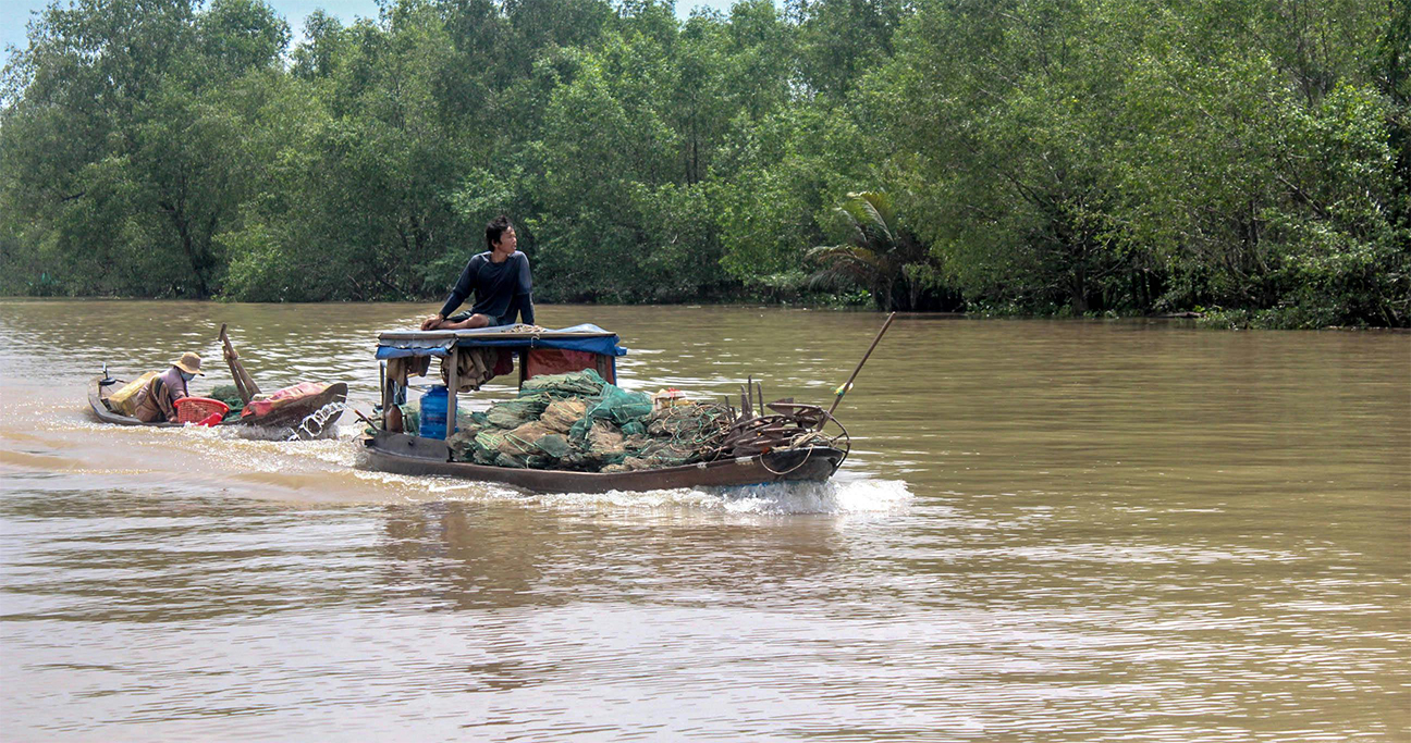
Water Resource Management: Hydrological and hydraulic models of river basins, floodplains, and catchments support integrated water planning and disaster risk reduction.
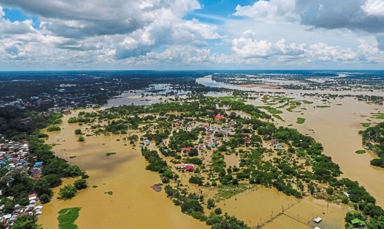
Flood and Drought Modelling: Hazard mapping, exposure analysis, and early warning systems inform infrastructure development and land use planning.
Ecosystem Services Modelling: Tools such as InVEST assess biodiversity values, ecosystem functions, and trade-offs under varying development scenarios.
Land Use and Urban Growth Simulation: Models forecast urban expansion, land cover change, and infrastructure impacts to support resilient planning.
Socio-Economic and Environmental Trade-Off Analysis: Multi-criteria and cost-benefit analysis tools support sustainable investment planning and decision-making.
Data-Driven Advantage: Leveraging Long-Term Records
ICEM’s extensive history of data collection across the Asia-Pacific provides a strong foundation for model development and policy analysis. Long-term datasets offer key advantages, including: