Project Description
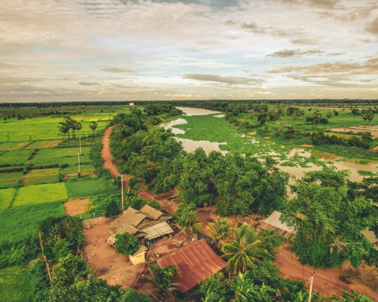
The Developing Long Term Adaptation (DELTA) Tools project was launched to address the lack of systematic frameworks available to help Mekong Delta planners assess the resilience of regional investment decisions in the face of climate uncertainty. The Mekong Basin, particularly its floodplain areas in Cambodia and Vietnam, faces escalating challenges from climate change, including higher average temperatures, more intense wet seasons, and longer dry periods. These shifts, compounded by complex interactions between hydropower development, land use changes, and sea level rise, demand integrated decision-making tools that can evaluate investment risks and adaptation options across agriculture, water, and transport sectors.
Objectives, Activities and Results
The project’s core objective was to develop a Decision Support Framework (DSF) combining basin-wide hydrological modeling with socio-economic projections to evaluate risks such as flooding, saline intrusion, and infrastructure impacts. ICEM contributed critical GIS, spatial modeling, and scenario analysis expertise, supporting the creation of delta metrics that assess vulnerabilities in rice production, aquaculture, infrastructure, and ecosystems. These metrics allow for informed testing of investment scenarios from the Mekong Delta Plan to guide resilient development strategies. The project also fostered engagement with national and provincial stakeholders, providing them with a practical means to align long-term planning with the principles of the Mekong Delta Plan and building consensus around a shared vision for climate-resilient development.
Links
- Catalogue includes provincial maps, topography, climate change baseline measures, and other provincial data.