
Adaptation news
News
Southeast Asia
Inclusive Biodiversity Conservation and Livelihood Improvement Underway in Lao PDR under the Mekong PAD III Program
Climate change news
News
Vietnam news
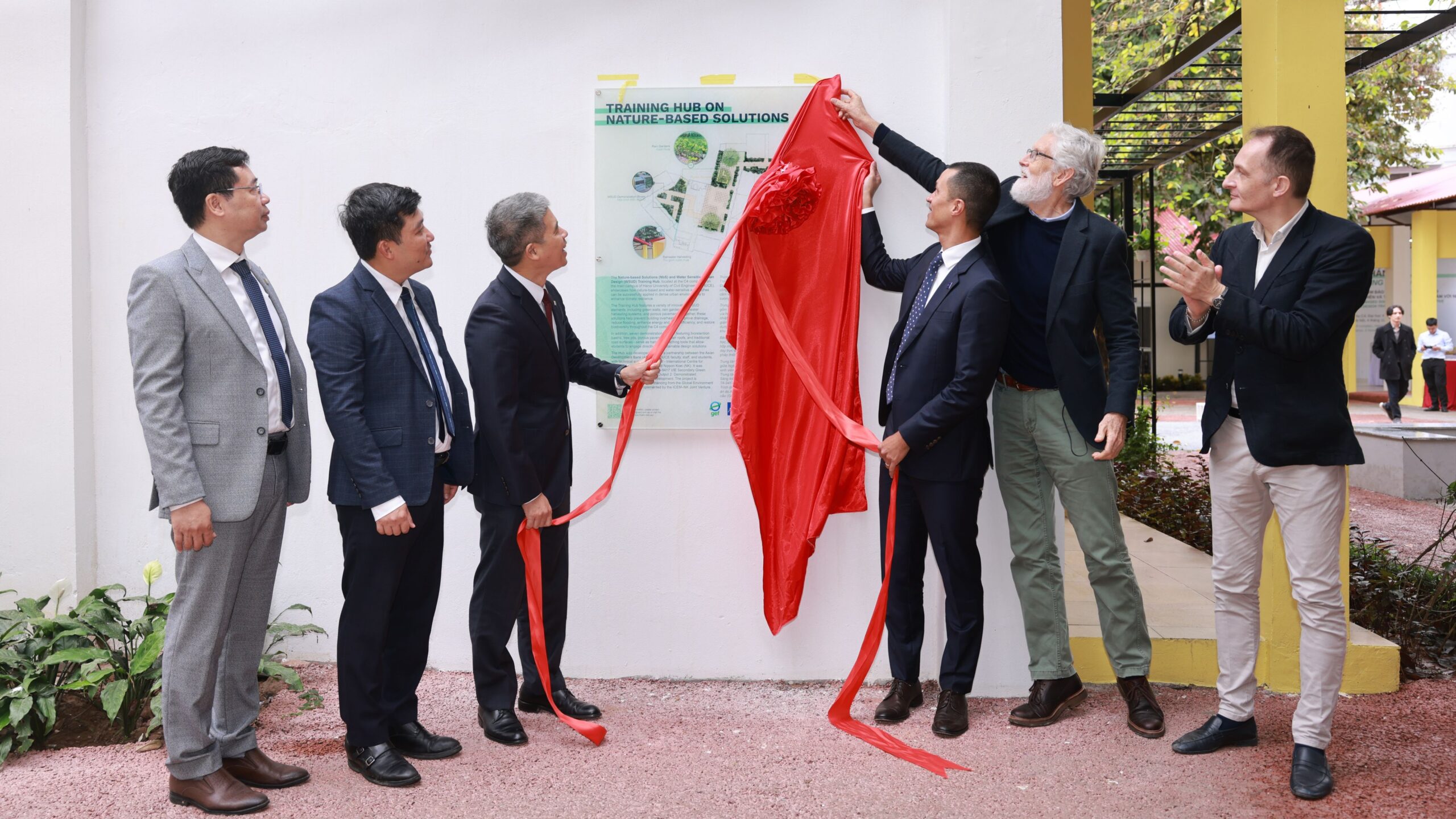
HUCE and ADB Launch Training Hub on Nature-based Solutions and Water Sensitive Urban Design

Blog
News
Philippines News
Videos
Restoring Nature for Livelihoods and Climate Resilience in the Philippines

Cambodia news
Climate change news
News
Videos
Restoring Nature for Livelihoods and Climate Resilience in Cambodia

Adaptation news
Cambodia news
News
Restoration of forests and agricultural landscapes in Cambodia

Adaptation news
Blog
Cambodia news
News
Philippines News
Monitoring and community awareness in Cambodia and the Philippines
Blog
Mekong news
News
Southeast Asia
Water news
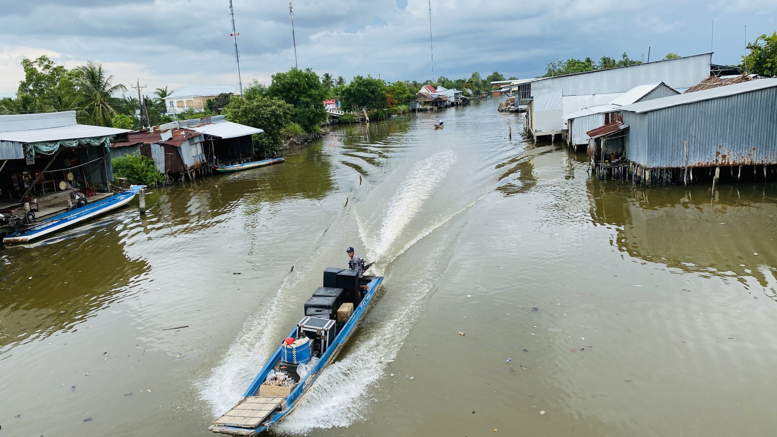
Drinking Water Supply Vulnerability in Vietnam’s Mekong Delta

Blog
News
Southeast Asia
Vietnam news
HUCE Student Design Competition: reimagine your campus!

Cambodia news
News
Southeast Asia