
Adaptation news
Climate change news
News
Southeast Asia
Community-Led Conservation in Kaeng Krachan National Park
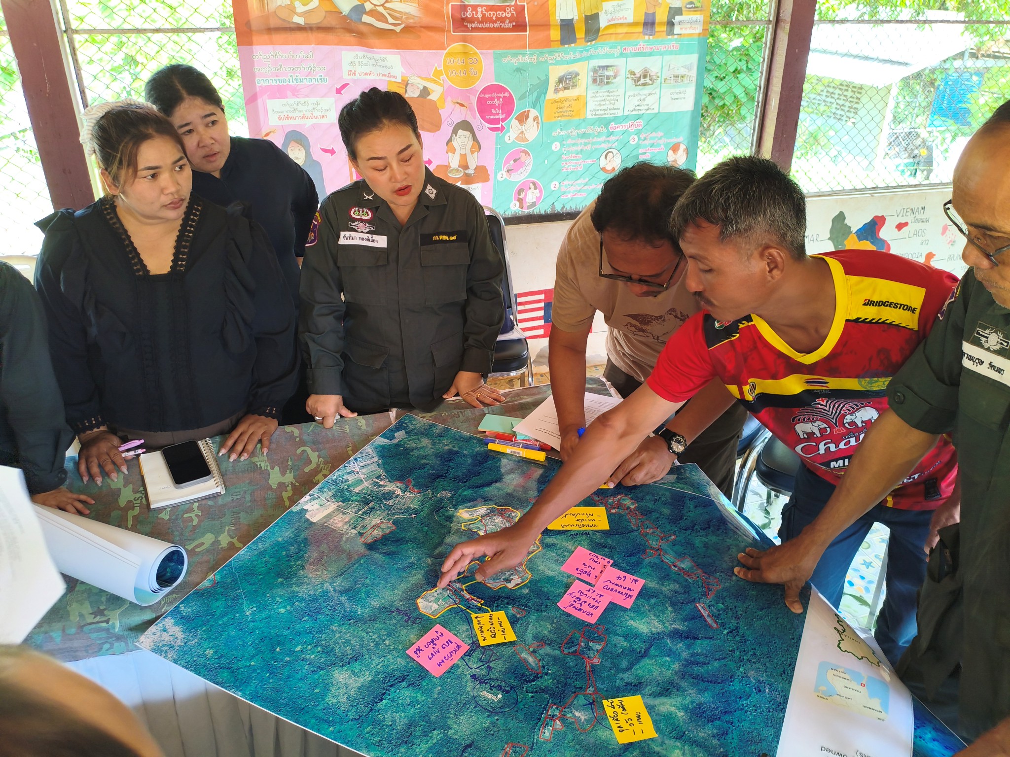
Beneath the forest canopy of Kaeng Krachan National Park, Thailand’s largest national park and a UNESCO World Heritage Site, wild elephants and endangered hornbills share a shrinking landscape with communities like Pa Deng Tai village whose livelihoods depend on the same forest ecosystems that climate change is threatening. In May 2026, a field mission to scope opportunities to set up a foundation to strengthen protected area man...
Adaptation news
Cambodia news
News
A Field Mission to Phum Kandal Community Forestry
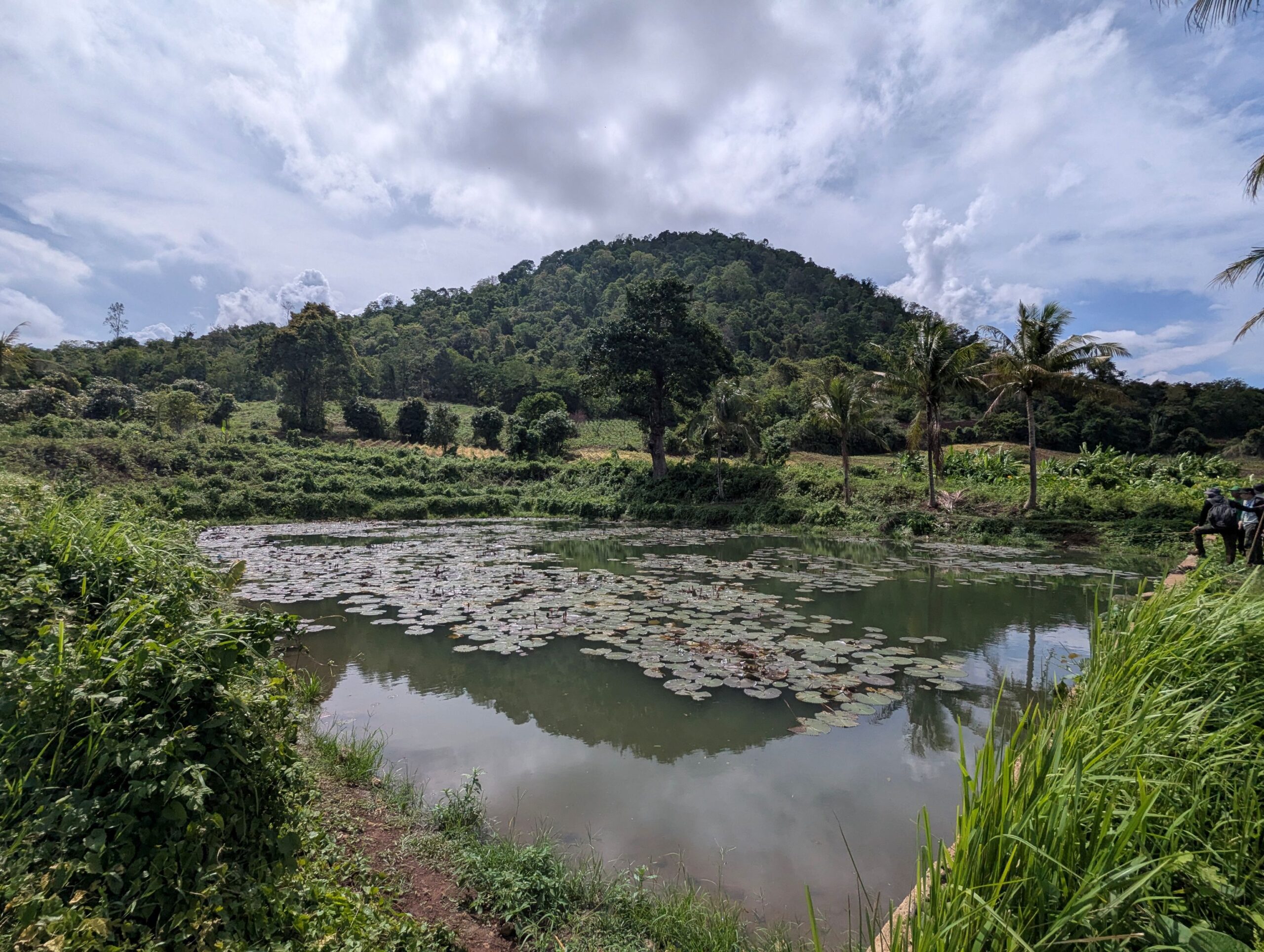
A recent field mission to Phum Kandal Community Forestry in Cambodia took the Mekong PAD III team through dense semi- and evergreen forest, up steep slopes reaching 500 metres, in heavy rain. A short video from the mission, available here, captures the terrain and conditions the team worked in. It also illustrates why this forest matters.
A Community Forest Under Pressure
Phum Kandal Community Forestry is a relatively small but e...
Adaptation news
News
Southeast Asia
Inclusive Biodiversity Conservation and Livelihood Improvement Underway in Lao PDR under the Mekong PAD III Program
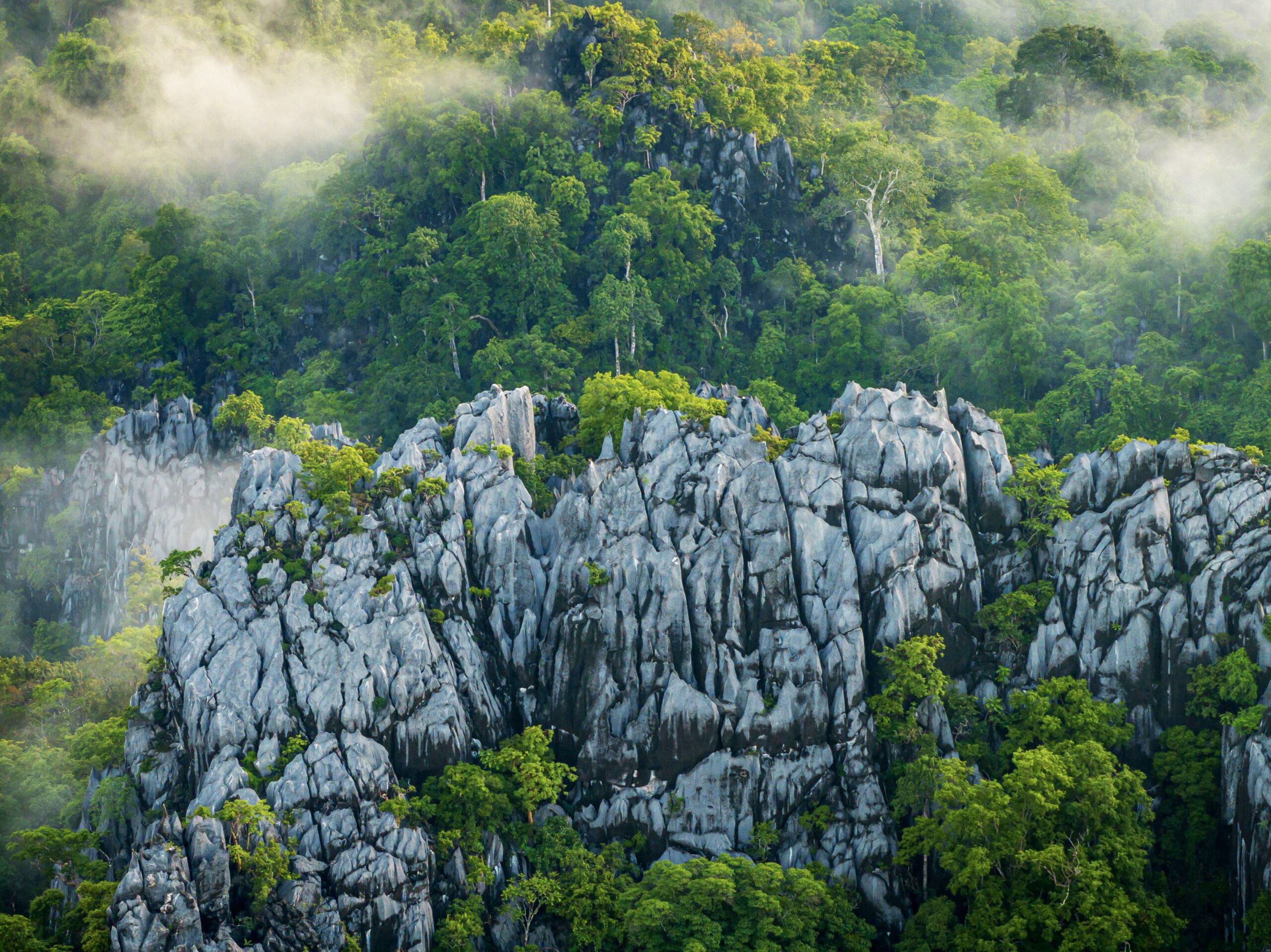
In August 2025, field missions were conducted across villages around the Namkong–Xexou Protection Forest (Attapeu Province) and the Hin Nam No National Park (Khammouane Province) in Lao PDR, as part of the Mekong PAD III Program funded by the Australian Government under the Mekong-Australia Partnership Phase 2 (MAP 2). The mission aimed to assess the Gender Equality, Disability and Social Inclusion (GEDSI) dynamics and gather essenti...
loading